News Summary
Northeast Ohio is experiencing a significant cold front today, leading to expected rainfall and lower temperatures across the region. The high of 60s stands in stark contrast to previous warm temperatures nearing 81 degrees. Residents should prepare for continued rain into Thursday morning. A second cold front is also on its way, expected to bring wind gusts up to 40 mph and significant changes in local weather conditions. Local commuters may face impacts due to the persistent rain and shifting temperatures in the coming days.
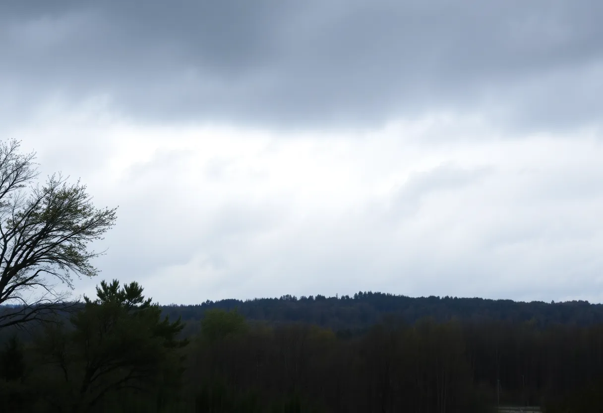
Cleveland, Ohio – A significant cold front is advancing through Northeast Ohio today, bringing with it expected rainfall and noticeably cooler temperatures for residents across the region. Scattered showers have already been reported this morning, and as the day progresses, afternoon skies are anticipated to be mostly cloudy, with high temperatures reaching only in the lower to middle 60s.
Today’s high has become a sharp contrast to previously warm temperatures, with earlier readings nearing 81 degrees, marking the warmest day since August 23 at Cleveland Hopkins International Airport. Rainfall totals for today are projected to reach between 0.40 to 0.50 inches as the brisk cold front makes its way through the area, though severe weather is unlikely due to insufficient atmospheric instability.
Tonight, residents can expect a clear sky and cooler temperatures, with early morning figures projected to settle around 50 degrees. Following this initial front, a second cold front is set to sweep through tomorrow, bringing windy conditions, gusting up to 40 mph from the southwest, alongside a partly cloudy sky and isolated afternoon showers.
Weather Forecast for Tomorrow
Tomorrow’s weather pattern suggests a notable shift as winds pick up, making for warmer conditions compared to today. The National Weather Service in Cleveland has alerted residents to prepare for the atmospheric changes that are rolling in. Wind gusts from southwestern winds may reach 40 mph, creating a breezy atmosphere.
Implications for Local Commuters
Rain is expected to persist into Thursday morning, which may impact local commuters. After the cold front passes, temperatures will see a dramatic drop, cooling to the mid to upper 60s, thus reflecting almost a 20-degree difference from the warm conditions experienced earlier in the week.
Upcoming Weather Changes
The weather is forecasted to clear somewhat on Friday, providing a break from rain with expected highs in the mid-70s. During this period, wind speeds are predicted to increase again, with gusts reaching around 25 mph and continued breezy conditions.
After Friday, another shift will occur as temperatures will likely return to the mid-60s once the secondary cold front passes. Residents should also be aware of the possibility of lake effect rain showers, particularly projected into Saturday night. Later forecasts indicate a transition towards a stretch of dry weather, as high pressure is expected to settle over the area post-weekend.
Long-term Weather Outlook
Looking ahead to next week, highs are anticipated to maintain in the upper 60s to low 70s, with overnight lows potentially dipping into the low to mid-40s. Current weather reports indicate favorable conditions for aviation, or VFR (Visual Flight Rules), with cumulus clouds expected to develop prior to the arrival of the cold front. Wind speeds at western airfields are forecasted to range from 10-15 knots, with potential gusts reaching up to 20 knots this afternoon.
Residents in Northeast Ohio are encouraged to monitor these weather changes closely and prepare for a notable shift in both temperature and precipitation in the coming days.
Deeper Dive: News & Info About This Topic
HERE Resources
Cleveland Weather Forecast: Rain and Cooler Temperatures Ahead
Baldwin Wallace University Launches NEOFIX Project for Safe Drone Operations
Northeast Ohio Residents Prepare for Northern Lights Viewing
Baldwin Wallace University Enhances Drone Delivery Services
Labor Day Celebrations and Store Closures in Cleveland
Labor Day Weekend Events in Cleveland
Cleveland Weather Update: Cooler Conditions Ahead for Labor Day
Additional Resources
- Hoodline: Cleveland Weather Service Forecasts
- Cleveland.com: NE Ohio Faces Wet Thursday Morning Commute
- WKYC: Cleveland Weather Forecast Tracking Thursday’s Rain
- Wikipedia: Weather Forecasting
- Encyclopedia Britannica: Weather